
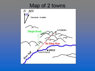
 This is a map a 2 towns. Luluville and Louberg. Note the 2 roads conecting the towns. Which road is the shortest to travel? You can't really tell because the map doesn't show elevation.
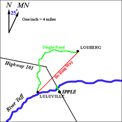
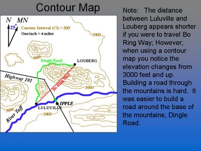
This map below shows the terrain of the map. Note the mountains between the two towns make it more difficult to build a road. Therfore the road was built around the base of the mountains.


No comments:
Post a Comment